Please click on the images for further details of these works.
Nicola Saunderson
MA SHOW WIMBLEDON 2013 - Southampton Junction SU 45652 21016
Navigating Islands 1,3, and 4.

SU 45652 21016 Junction, installation view of traffic island chartings and digital animation. September 2013.

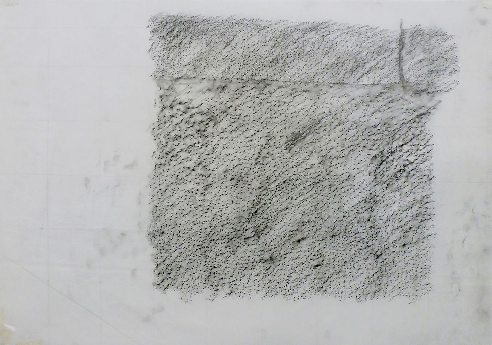
SU 45663 20995 Traffic Island 1 in show space, graphite on drafting film, 4x (91x 91cm). September 2013.

SU 45679 21025 Traffic Island 4, graphite on drafting film, 91 x 91cm.

SU 45652 21016 Junction, installation view of traffic island chartings and digital animation. September 2013.
Through this work I have charted a typical roundabout junction at the grid reference SU 45652 21016, specifically its traffic islands and roundabout, spaces formed as a result of the road and its functioning.
These are island spaces removed from the pedestrian by the road, some are designed to lead a pedestrian across the road whilst others don’t, yet still may be used like a stepping stones when crossing the road.
The function of these island spaces is to slow and channel traffic towards the roundabout, which means they are often empty containing just a few directional and safety signs prescribing the route ahead, or some soft landscaping to reduce the impact of the road.
In this work I have primarily focused on charting three non-pedestrian traffic islands whilst briefly looking at the roundabout and pedestrian refuge island, seeking to understand through charting, the construction and the area of these island spaces.
Development
SU 45663 20995, Traffic Island 1.


Traffic Island 1, drawing made from pedestrian path, 40.5 x 28.9 cm, pencil on cartridge paper, June 2013.
SU 45663 20995, Traffic Island 1 - 1:10, 83.6 x 59.6 cm, pencil and graphite on tracing paper, May 2013.


SU 45663 20995, Traffic Island 1 rubbings x6, 91 x 91cm, 25/07/2013.
SU 45628 21011, Pedestrian Refuge Island - Traffic Island 2.


SU 45628 21011, Pedestrian Refuge Island, Traffic Island 2, rubbings x 7, 83.6 x 59.6cm, graphite on tracing paper, June 2013.
SU 45658 21045, Traffic Island 3.


SU 45658 21045, Traffic Island 3, 1:10, 83.6 x 59.7 cm, pencil and graphite on tracing paper, May 2013.
SU 45679 21025, Traffic Island 4.


SU 45679 21025 Traffic Island 4, 1:10, 83.6 x 59.7 cm, pencil and graphite on drafting film, May 2013.
SU 45679 21025, Traffic Island 4 rubbings x4, 91 x 91cm, graphite on drafting film, 25/07/2013.